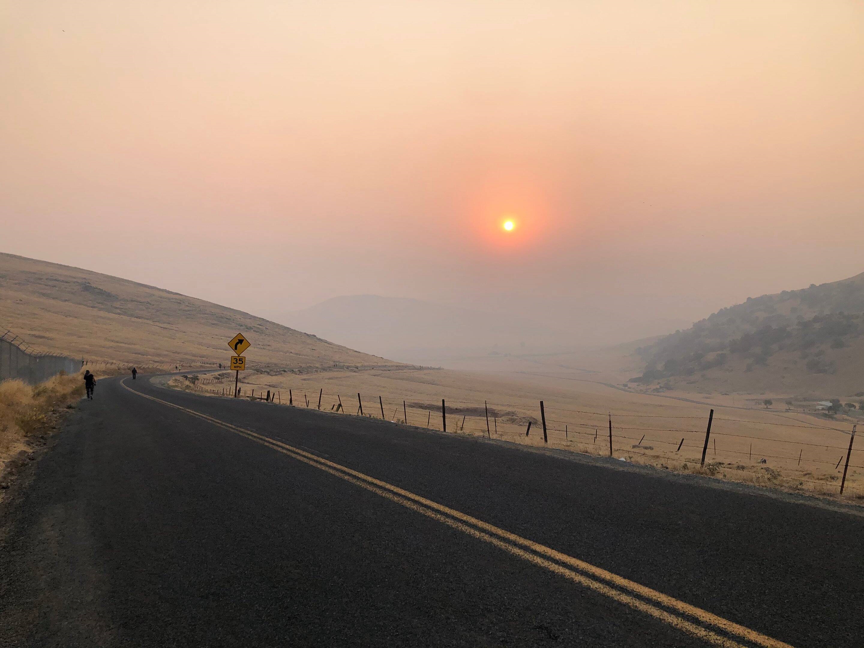
Wildfire emissions polluting the view in 2020. Credit: Frausto-Vicencio/UC Riverside
Wildfires emit a significant amount of methane into the atmosphere, but despite the warming effects of this greenhouse gas on the planet, some government agencies do not track this natural methane source. This includes the state of California, a hotspot for megafires, despite the state’s plan to reduce methane emissions and other contributors to global warming by 40% by 2030. Traditional methods for measuring wildfire emissions require the collection of air samples via aircraft, which is a costly and complicated method that also poses safety risks. Researchers at the University of California - Riverside have used a new remote method to better explore the extent of methane emissions from megafires, offering an avenue for governments to better take into account the impact of wildfires on climate goals.
The novel method utilizes a technique called solar spectroscopy, specifically solar Fourier transform infrared (FTIR) spectroscopy. Rather than a laser, this method uses the sun as a light source to measure the absorption of gas molecules, including methane. This technique enables emissions to be measured remotely from the ground, as far as 40 miles away from the emission source. The researchers conducted their study during the 2020 Sequoia Lightning Fire Complex, which burned nearly 175,000 acres in the Sequoia National Forest and nearby land. The team used a solar FTIR spectrometer from Los Alamos National Laboratory (LANL) to measure smoke plumes, or atmospheric columns, allowing the capture of information from different stages of burning, such as the active and smoldering phases of the fire, explained study co-author Francesca Hopkins. Atmospheric column measurements were made continuously during the day for a total of 40 days between September and October 2020.
Using the data they collected, the researchers determined that nearly 20 gigagrams (Gg), or nearly 20,000 metric tons, of methane was emitted by the Sequoia Lightning Fire Complex. The team compared their data to data from the TROPOspheric Monitoring Instrument (TROPOMI), a measurement system based on board a European Space Agency satellite, and found their measurements agreed with those collected from space. However, TROPOMI is only capable of collecting daily snapshots at a global view, while the remote solar FTIR technique enables continuous monitoring of atmospheric columns as long as there is enough sunlight to facilitate measurements. The researchers further used data from other California wildfires to calculate the total methane emissions from fires in 2020, and estimated the total to be about 213.7 Gg. This would make wildfires the third greatest source of methane in the state, after agriculture and industry. The authors suggested this data, along with the availability of safe and robust remote sensing techniques, should encourage greater attention to monitoring methane emissions from wildfires. This study was published in Atmospheric Chemistry and Physics.
“California has been way ahead on this issue,” said Hopkins. “We’re really hoping the state can limit the methane emissions under our control to reduce short-term global warming and its worst effects, despite the extra emissions coming from these fires.”